Tiedosto:Maryland US Congressional District 3 (since 2013).tif
Siirry navigaatioon
Siirry hakuun
Tämän PNG-esikatselun koko koskien TIF-tiedostoa: 800 × 384 kuvapistettä. Muut resoluutiot: 320 × 154 kuvapistettä | 640 × 307 kuvapistettä | 1 024 × 492 kuvapistettä | 2 098 × 1 008 kuvapistettä.
Alkuperäinen tiedosto (2 098 × 1 008 kuvapistettä, 3,66 MiB, MIME-tyyppi: image/tiff)
| Tämä tiedosto on tiedostotietokanta Wikimedia Commonsista. Tiedot kuvaussivulta näkyvät alla. |  |
Tiedoston kuvaussivu Commonsissa |
Yhteenveto
| Kuvaus |
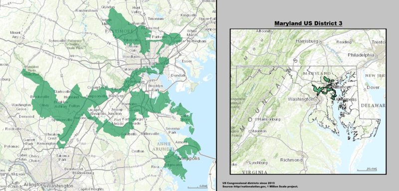
English: Boundaries for Maryland’s 3rd United States Federal Congressional District (since 2013). |
| Päiväys | |
| Lähde | GIS (congressional districts, 2013) shapefile data created by the United States Department of the Interior, as part of the "1 Million Scale" geospatial data project. Retrieved from: http://nationalatlas.gov/atlasftp-1m.html?openChapters=#chpbound. Data rendered using ArcGIS® software by Esri. File developed for use on Wikipedia and elsewhere by 7partparadigm. |
| Tekijä | GIS shapefile data created by the United States Department of the Interior |
Lisenssi
This map was obtained from an edition of the National Atlas of the United States. Like almost all works of the U.S. federal government, works from the National Atlas are in the public domain in the United States.
Online access: NationalAtlas.gov | 1970 print edition: Library of Congress, Perry-Castañeda Library
|
Tiedoston historia
Päiväystä napsauttamalla näet, millainen tiedosto oli kyseisellä hetkellä.
| Päiväys | Pienoiskuva | Koko | Käyttäjä | Kommentti | |
|---|---|---|---|---|---|
| nykyinen | 16. toukokuuta 2014 kello 02.06 |  | 2 098 × 1 008 (3,66 MiB) | 7partparadigm | User created page with UploadWizard |
Tiedoston käyttö
Seuraava sivu käyttää tätä tiedostoa:
Tiedoston järjestelmänlaajuinen käyttö
Seuraavat muut wikit käyttävät tätä tiedostoa:
- Käyttö kohteessa en.wikipedia.org
- Käyttö kohteessa fr.wikipedia.org
- Käyttö kohteessa hu.wikipedia.org
- Käyttö kohteessa ja.wikipedia.org
- Käyttö kohteessa www.wikidata.org
- Käyttö kohteessa zh.wikipedia.org