Tiedosto:Anguilla location map.svg
Siirry navigaatioon
Siirry hakuun

Tämän PNG-esikatselun koko koskien SVG-tiedostoa: 664 × 599 kuvapistettä. Muut resoluutiot: 266 × 240 kuvapistettä | 532 × 480 kuvapistettä | 851 × 768 kuvapistettä | 1 134 × 1 024 kuvapistettä | 2 269 × 2 048 kuvapistettä | 1 777 × 1 604 kuvapistettä.
Alkuperäinen tiedosto (SVG-tiedosto; oletustarkkuus 1 777 × 1 604 kuvapistettä; tiedostokoko 56 KiB)
| Tämä tiedosto on tiedostotietokanta Wikimedia Commonsista. Tiedot kuvaussivulta näkyvät alla. |  |
Tiedoston kuvaussivu Commonsissa |
Yhteenveto
| Kuvaus |
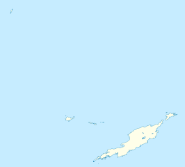
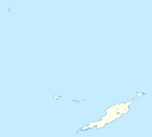
Deutsch: Positionskarte von Anguilla
Geographische Begrenzung der Karte:
English: Location map of Anguilla
Geographic limits of the map:
|
||||||||||||
| Päiväys | |||||||||||||
| Lähde | Oma teos | ||||||||||||
| Tekijä | NordNordWest | ||||||||||||
| Käyttöoikeus (Tämän tiedoston uudelleenkäyttö) |
|
||||||||||||
| Muut versiot | Tämän tiedoston johdannaisteoksia: Anguilla islands.svg |

|
Saksankielisen Wikipedian projekti Kartenwerkstatt on parantanut tätä karttaa. Myös sinä voit ehdottaa jotakin karttaa parannettavaksi.
|
Tiedoston historia
Päiväystä napsauttamalla näet, millainen tiedosto oli kyseisellä hetkellä.
| Päiväys | Pienoiskuva | Koko | Käyttäjä | Kommentti | |
|---|---|---|---|---|---|
| nykyinen | 3. toukokuuta 2010 kello 21.34 | | 1 777 × 1 604 (56 KiB) | NordNordWest | == {{int:filedesc}} == {{Information |Description= {{de|Positionskarte von Anguilla}} Geographische Begrenzung der Karte: * N: 18.62° N * S: 18.14° N * W: 63.46° W * O: 62.90° W {{en|Location map of Anguilla}} Geograp |
Tiedoston käyttö
Seuraavat 2 sivua käyttävät tätä tiedostoa:
Tiedoston järjestelmänlaajuinen käyttö
Seuraavat muut wikit käyttävät tätä tiedostoa:
- Käyttö kohteessa af.wikipedia.org
- Käyttö kohteessa an.wikipedia.org
- Käyttö kohteessa ar.wikipedia.org
- Käyttö kohteessa ast.wikipedia.org
- Käyttö kohteessa ba.wikipedia.org
- Käyttö kohteessa be.wikipedia.org
- Käyttö kohteessa bg.wikipedia.org
- Käyttö kohteessa bs.wikipedia.org
- Käyttö kohteessa ceb.wikipedia.org
- Anguilla
- Gumagamit:Lsj/Test
- Plantilya:Location map United Kingdom Anguilla
- Sandy Island
- Long Bay
- Great Bay
- Shoal Bay
- West Point
- West Cay
- Sandy Point
- Long Rock
- Little Island
- Blowing Rock
- Windward Point
- Warner Point
- The Valley
- Valley
- Stoney Bay
- Spring Bay
- Sombrero (pagklaro)
- Hat Island
- Sombrero Island
- Snake Point
- Lovers Point
- Seal Rocks
- Seal Island
- Seal Islets
- Seal Islands
- Scrub Island
- Scrub Islet
- Savannah Bay
- Sand Island
- Sandy Hill Bay
- Road Point
- Road Bay
- North Side
Näytä lisää tämän tiedoston järjestelmänlaajuista käyttöä.