Tiedosto:USA Virgin Islands location map.svg
Siirry navigaatioon
Siirry hakuun

Tämän PNG-esikatselun koko koskien SVG-tiedostoa: 570 × 599 kuvapistettä. Muut resoluutiot: 228 × 240 kuvapistettä | 457 × 480 kuvapistettä | 731 × 768 kuvapistettä | 974 × 1 024 kuvapistettä | 1 949 × 2 048 kuvapistettä | 787 × 827 kuvapistettä.
Alkuperäinen tiedosto (SVG-tiedosto; oletustarkkuus 787 × 827 kuvapistettä; tiedostokoko 51 KiB)
| Tämä tiedosto on tiedostotietokanta Wikimedia Commonsista. Tiedot kuvaussivulta näkyvät alla. |  |
Tiedoston kuvaussivu Commonsissa |
Yhteenveto
| Kuvaus |
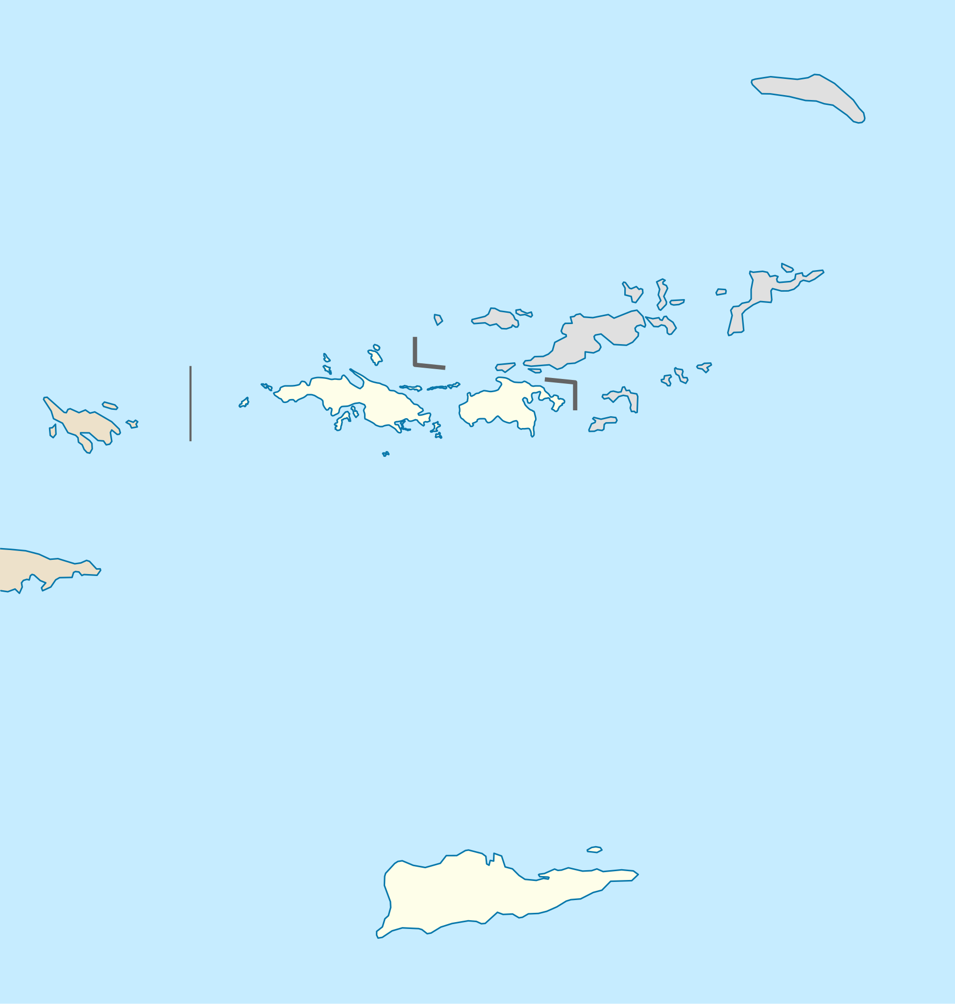
Quadratische Plattkarte, N-S-Streckung 105 %. Geographische Begrenzung der Karte:
Equirectangular projection, N/S stretching 105 %. Geographic limits of the map:
|
| Päiväys | |
| Lähde |
own work, using
|
| Tekijä | NordNordWest |
| Muut versiot | Tämän tiedoston johdannaisteoksia: Popular footprint.png |

|
Saksankielisen Wikipedian projekti Kartenwerkstatt on parantanut tätä karttaa. Myös sinä voit ehdottaa jotakin karttaa parannettavaksi.
|
Lisenssi
Minä, tämän teoksen tekijänoikeuksien haltija, julkaisen täten tämän teoksen seuraavalla lisenssillä:
Tämä tiedosto on lisensoitu Creative Commons Nimeä-JaaSamoin 3.0 Ei sovitettu -lisenssillä.
- Voit:
- jakaa – kopioida, levittää ja esittää teosta
- remiksata – valmistaa muutettuja teoksia
- Seuraavilla ehdoilla:
- nimeäminen – Sinun on mainittava lähde asianmukaisesti, tarjottava linkki lisenssiin sekä merkittävä, mikäli olet tehnyt muutoksia. Voit tehdä yllä olevan millä tahansa kohtuullisella tavalla, mutta et siten, että annat ymmärtää lisenssinantajan suosittelevan sinua tai teoksen käyttöäsi.
- jaa samoin – Jos muutat tai perustat tähän työhön, voit jakaa tuloksena syntyvää työtä vain tällä tai tämän kaltaisella lisenssillä.
Tiedoston historia
Päiväystä napsauttamalla näet, millainen tiedosto oli kyseisellä hetkellä.
| Päiväys | Pienoiskuva | Koko | Käyttäjä | Kommentti | |
|---|---|---|---|---|---|
| nykyinen | 12. heinäkuuta 2009 kello 20.03 | | 787 × 827 (51 KiB) | NordNordWest | |
| 12. heinäkuuta 2009 kello 20.03 |  | 787 × 827 (51 KiB) | NordNordWest | ||
| 7. heinäkuuta 2009 kello 12.41 |  | 787 × 827 (51 KiB) | NordNordWest | {{Information |Description= {{de|Positionskarte der Amerikanischen Jungferninseln, USA}} Quadratische Plattkarte, N-S-Streckung 105 %. Geographische Begrenzung der Karte: * N: 18.85° N * S: 17.6° N * W: 6 |
Tiedoston käyttö
Seuraavat 2 sivua käyttävät tätä tiedostoa:
Tiedoston järjestelmänlaajuinen käyttö
Seuraavat muut wikit käyttävät tätä tiedostoa:
- Käyttö kohteessa af.wikipedia.org
- Käyttö kohteessa an.wikipedia.org
- Käyttö kohteessa ar.wikipedia.org
- Käyttö kohteessa arz.wikipedia.org
- Käyttö kohteessa ast.wikipedia.org
- Käyttö kohteessa az.wikipedia.org
- Käyttö kohteessa be-tarask.wikipedia.org
- Käyttö kohteessa be.wikipedia.org
- Käyttö kohteessa bg.wikipedia.org
- Käyttö kohteessa bn.wikipedia.org
- Käyttö kohteessa ceb.wikipedia.org
- Plantilya:Location map USA Virgin Islands
- Signal Hill
- Saint John
- The Narrows
- Long Bay
- Isaac Point
- Hughes Point
- Great Bay
- Mount Pleasant
- West Point
- West Cay
- Sandy Point
- Black Point
- Powell Point
- Sail Rock
- East Point
- White Point
- Whale Point
- Long Point
- Spring Point
- Fish Point
- Dog Rocks
- Sugar Bay
- Sandy Bay
- West End
- Southwest Point
- Salt Pond
- Salt Cay
- Pond Bay
- Flat Cays
- Pelican Cay
- Hurricane Hole
- Green Cay
- Porpoise Rocks
Näytä lisää tämän tiedoston järjestelmänlaajuista käyttöä.