Tiedosto:Fife UK location map.svg
Siirry navigaatioon
Siirry hakuun

Tämän PNG-esikatselun koko koskien SVG-tiedostoa: 742 × 600 kuvapistettä. Muut resoluutiot: 297 × 240 kuvapistettä | 594 × 480 kuvapistettä | 950 × 768 kuvapistettä | 1 267 × 1 024 kuvapistettä | 2 533 × 2 048 kuvapistettä | 1 425 × 1 152 kuvapistettä.
Alkuperäinen tiedosto (SVG-tiedosto; oletustarkkuus 1 425 × 1 152 kuvapistettä; tiedostokoko 1,61 MiB)
| Tämä tiedosto on tiedostotietokanta Wikimedia Commonsista. Tiedot kuvaussivulta näkyvät alla. |  |
Tiedoston kuvaussivu Commonsissa |
| Kuvaus |
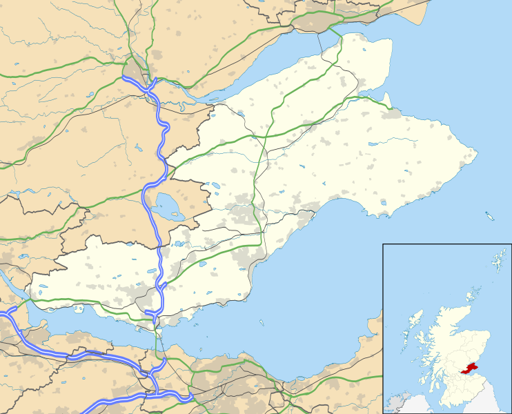
Blank map of Fife, UK with the following information shown:
Geographic limits:
|
| Päiväys | |
| Lähde |
|
| Tekijä | Nilfanion, created using Ordnance Survey data |
| Käyttöoikeus (Tämän tiedoston uudelleenkäyttö) |
Tämä tiedosto on lisensoitu Creative Commons Nimeä-JaaSamoin 3.0 Ei sovitettu -lisenssillä. Nimeä: Contains Ordnance Survey data © Crown copyright and database right
|
| Muut versiot | File:Fife UK blank map.svg - Blank map |
Tiedoston historia
Päiväystä napsauttamalla näet, millainen tiedosto oli kyseisellä hetkellä.
| Päiväys | Pienoiskuva | Koko | Käyttäjä | Kommentti | |
|---|---|---|---|---|---|
| nykyinen | 26. syyskuuta 2010 kello 23.15 | | 1 425 × 1 152 (1,61 MiB) | Nilfanion | {{Information |Description=Blank map of Fife, UK with the following information shown: *Administrative borders *Coastline, lakes and rivers *Roads and railways *Urban areas Equirectangular map projection on WGS 84 datum, with N/S stretched 17 |
Tiedoston käyttö
Seuraava sivu käyttää tätä tiedostoa:
Tiedoston järjestelmänlaajuinen käyttö
Seuraavat muut wikit käyttävät tätä tiedostoa:
- Käyttö kohteessa ar.wikipedia.org
- Käyttö kohteessa arz.wikipedia.org
- Käyttö kohteessa bg.wikipedia.org
- Käyttö kohteessa ca.wikipedia.org
- Käyttö kohteessa ceb.wikipedia.org
- Käyttö kohteessa cy.wikipedia.org
- Käyttö kohteessa de.wikipedia.org
- Käyttö kohteessa el.wikipedia.org
- Käyttö kohteessa en.wikipedia.org
- Aberdour
- Kinglassie
- Fife
- List of monastic houses in Scotland
- Newport-on-Tay
- North Queensferry
- Dalgety Bay
- Dunfermline
- St Andrews
- Kirkcaldy
- Cupar
- Crail
- Kinghorn
- Culross
- Inverkeithing
- Burntisland
- Leuchars Station
- Cowdenbeath
- Methil
- Rosyth
- Wormit
- Glenrothes
- Limekilns
- East End Park
- Ceres, Fife
- Pittenweem
- Dysart, Fife
- Auchtermuchty
- Leuchars
Näytä lisää tämän tiedoston järjestelmänlaajuista käyttöä.