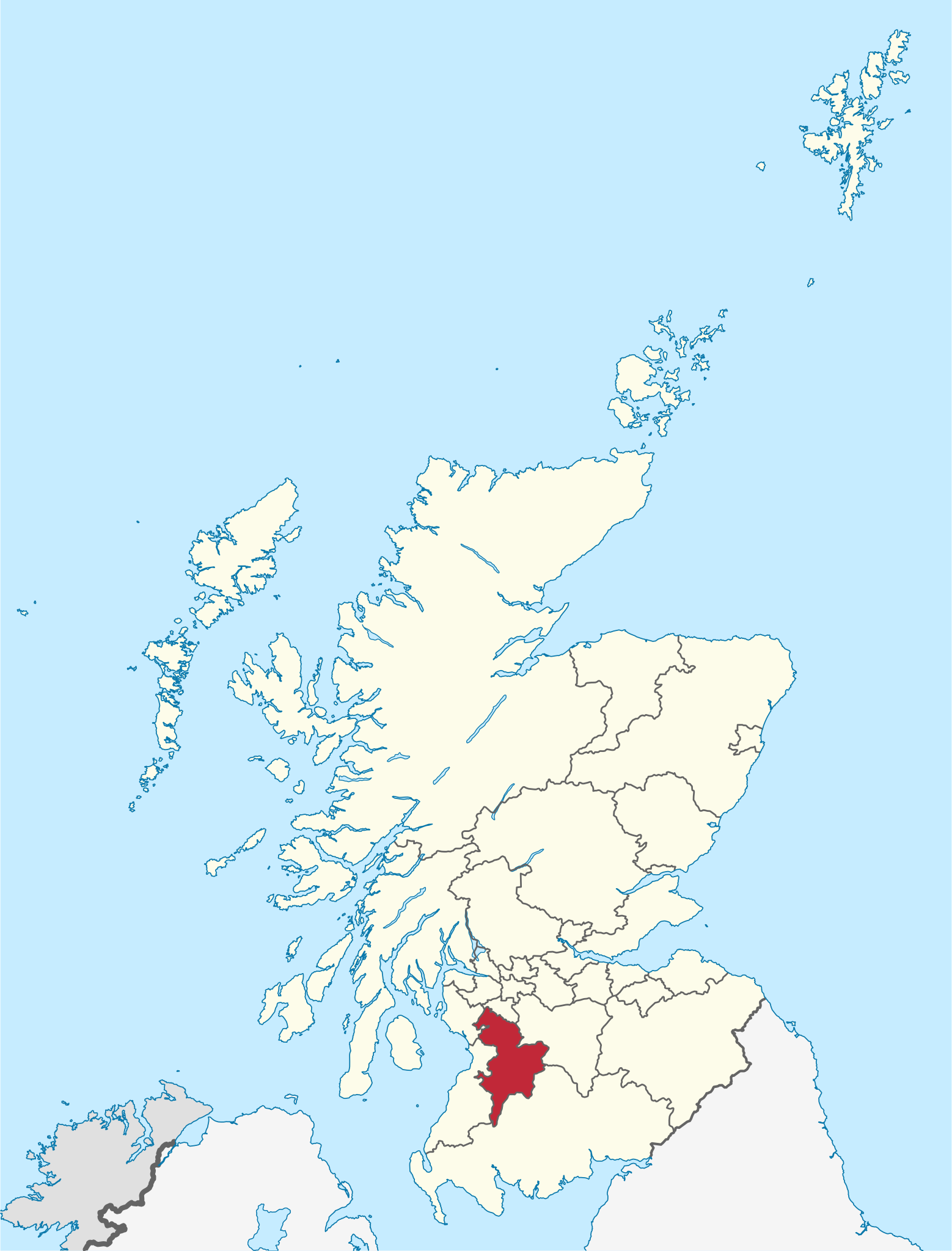
Tiedosto:East Ayrshire in Scotland.svg
Siirry navigaatioon
Siirry hakuun

Tämän PNG-esikatselun koko koskien SVG-tiedostoa: 456 × 600 kuvapistettä. Muut resoluutiot: 182 × 240 kuvapistettä | 365 × 480 kuvapistettä | 584 × 768 kuvapistettä | 779 × 1 024 kuvapistettä | 1 558 × 2 048 kuvapistettä | 1 128 × 1 483 kuvapistettä.
Alkuperäinen tiedosto (SVG-tiedosto; oletustarkkuus 1 128 × 1 483 kuvapistettä; tiedostokoko 1,57 MiB)
| Tämä tiedosto on tiedostotietokanta Wikimedia Commonsista. Tiedot kuvaussivulta näkyvät alla. |  |
Tiedoston kuvaussivu Commonsissa |
Yhteenveto
.svg)
.svg)
.svg)
.svg)
.svg)
.svg)
.svg)

-en.svg)

.svg)
.svg)
.svg)

_(US48).svg)
_(small_islands_magnified)_(-mini_map_-rivers).svg)
.svg)
_(extra_close)_(US48).svg)
.svg)
_(zoom).svg)

.svg)


_(UNMIK).svg)
.svg)
_(disputed_hatched).svg)
_(claimed_and_disputed_hatched).svg)
.svg)
.svg)
_(%2Ball_claims_hatched).svg)

.svg)
_(shade).svg)
_(shade)_(special_marker).svg)
_(-mini_map).svg)
_(-mini_map).svg)
_(-mini_map).svg)


.svg)

.svg)
Lisenssi
Minä, tämän teoksen tekijänoikeuksien haltija, julkaisen täten tämän teoksen seuraavilla lisensseillä:

|
Voit kopioida, levittää ja/tai muuttaa tätä asiakirjaa GNU Free Documentation License -lisenssin version 1.2 tai minkä tahansa Free Software Foundationin julkaiseman myöhemmän version ehtojen alaisena; ei koske muuttumattomia kohtia, etukannen tekstejä eikä takakannen tekstejä. Kopio tästä lisenssistä on saatavilla osiossa GNU Free Documentation License. |
Tämä tiedosto on lisensoitu Creative Commons Nimeä-JaaSamoin 3.0 Ei sovitettu -lisenssillä.
- Voit:
- jakaa – kopioida, levittää ja esittää teosta
- remiksata – valmistaa muutettuja teoksia
- Seuraavilla ehdoilla:
- nimeäminen – Sinun on mainittava lähde asianmukaisesti, tarjottava linkki lisenssiin sekä merkittävä, mikäli olet tehnyt muutoksia. Voit tehdä yllä olevan millä tahansa kohtuullisella tavalla, mutta et siten, että annat ymmärtää lisenssinantajan suosittelevan sinua tai teoksen käyttöäsi.
- jaa samoin – Jos muutat tai perustat tähän työhön, voit jakaa tuloksena syntyvää työtä vain tällä tai tämän kaltaisella lisenssillä.
Voit valita haluamasi lisenssin.

|
I'd greatly appreciate, that you attribute this media file to Wikimedia Commons, if used outside Wikipedia or Commons. For use in publications such as books, newspapers, blogs, websites, please insert here the following line:
|
Tiedoston historia
Päiväystä napsauttamalla näet, millainen tiedosto oli kyseisellä hetkellä.
| Päiväys | Pienoiskuva | Koko | Käyttäjä | Kommentti | |
|---|---|---|---|---|---|
| nykyinen | 8. syyskuuta 2011 kello 15.57 | | 1 128 × 1 483 (1,57 MiB) | TUBS |
Tiedoston käyttö
Seuraava sivu käyttää tätä tiedostoa:
Tiedoston järjestelmänlaajuinen käyttö
Seuraavat muut wikit käyttävät tätä tiedostoa:
- Käyttö kohteessa br.wikipedia.org
- Käyttö kohteessa cs.wikipedia.org
- Käyttö kohteessa da.wikipedia.org
- Käyttö kohteessa de.wikipedia.org
- Käyttö kohteessa en.wikipedia.org
- East Ayrshire
- Kilmarnock
- Cumnock
- Newmilns
- Rugby Park
- Galston, East Ayrshire
- Auchinleck
- Auchinleck House
- Sorn, East Ayrshire
- Drongan
- Grange Academy, Kilmarnock
- Hurlford
- Darvel
- Andrew Barclay Sons & Co.
- Fenwick, East Ayrshire
- Stewarton
- Patna, East Ayrshire
- River Doon
- Ochiltree
- Catrine
- Mauchline
- Kilmaurs
- Dalmellington
- River Afton
- Mansfield, East Ayrshire
- Glenbuck
- Template:EastAyrshire-geo-stub
- Kilmarnock Academy
- Rankinston
- Saint Joseph's Academy, Kilmarnock
- New Cumnock
- East Ayrshire Council
- Barony and Castle of Corsehill
- Muirkirk
- Polnessan
- Commondyke railway station
- Muirkirk & North Lowther Uplands Special Protection Area
- Skares
- Gatehead, East Ayrshire
- Knockentiber
- Lugar, East Ayrshire
- Dumfries House
- University Hospital Crosshouse
- Auchmillan
- Back Rogerton
- Bonnyton, East Ayrshire
Näytä lisää tämän tiedoston järjestelmänlaajuista käyttöä.