Tiedosto:Ushiku city center area Aerial photograph.1990.jpg
Siirry navigaatioon
Siirry hakuun
Tämän esikatselun koko: 800 × 506 kuvapistettä. Muut resoluutiot: 320 × 202 kuvapistettä | 640 × 405 kuvapistettä | 1 024 × 648 kuvapistettä | 1 280 × 810 kuvapistettä | 2 560 × 1 620 kuvapistettä | 5 372 × 3 399 kuvapistettä.
Alkuperäinen tiedosto (5 372 × 3 399 kuvapistettä, 15,81 MiB, MIME-tyyppi: image/jpeg)
| Tämä tiedosto on tiedostotietokanta Wikimedia Commonsista. Tiedot kuvaussivulta näkyvät alla. |  |
Tiedoston kuvaussivu Commonsissa |
Yhteenveto
| Kuvaus |
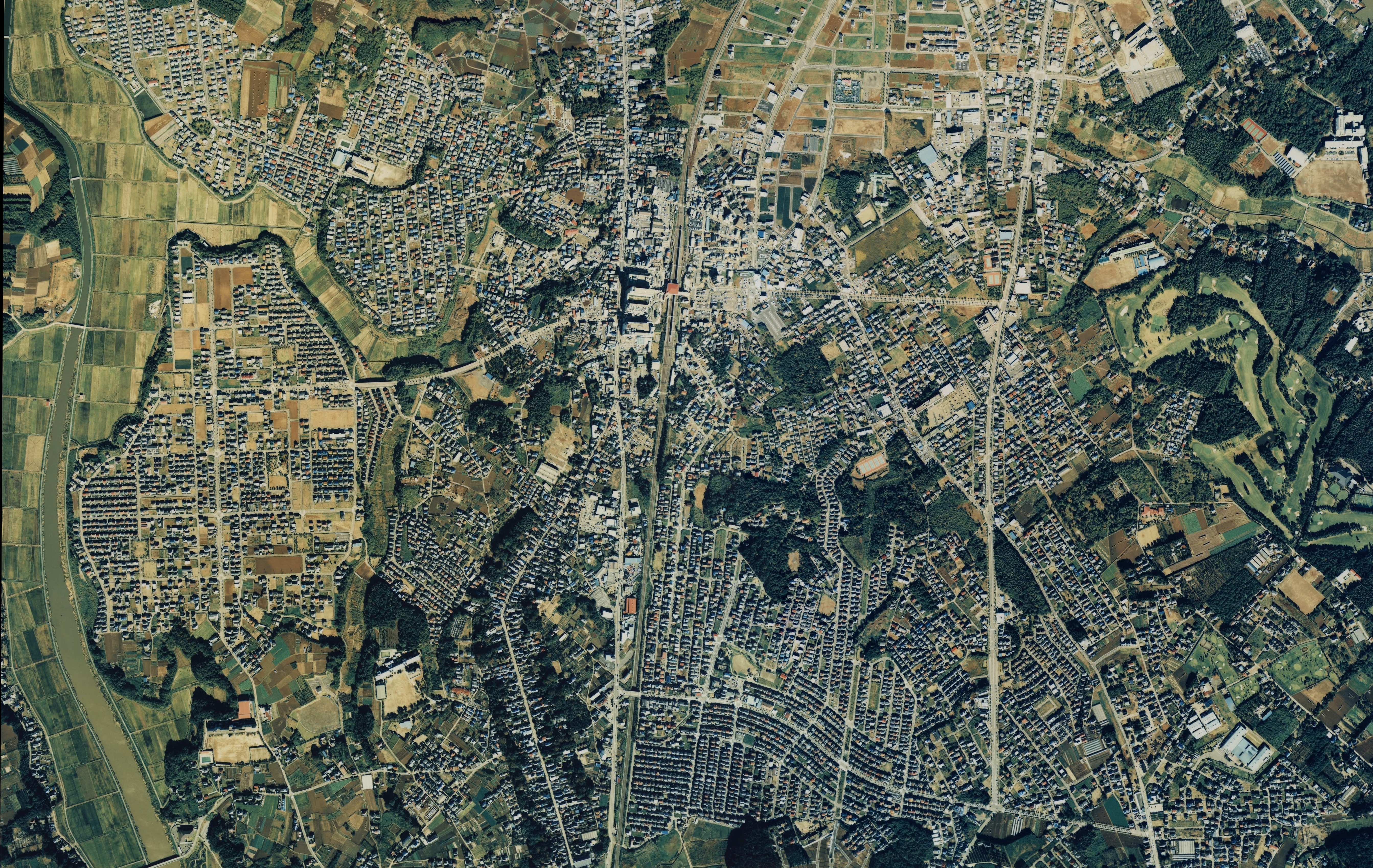
English: Ushiku city center area Aerial photograph.1990
日本語: 牛久市(茨城県)中心部周辺の空中写真。Ckt-90-3_c22の15,16,17、合計3枚を合成作成。 |
| Päiväys | |
| Lähde | 国土情報ウェブマッピングシステム |
| Tekijä | 国土交通省 |
Lisenssi

|
Tämän teoksen tekijänoikeuksien haltija, the Ministry of Land, Infrastructure, Transport and Tourism of Japan, sallii kenen tahansa käyttää sitä mihin tahansa tarkoitukseen, edellyttäen että tekijänoikeuksien haltija on asianmukaisesti mainittu. Teoksen uudelleen käyttö, muokkaaminen, kaupallinen käyttö ja muu käyttö on sallittu. |
Nimeä:
Copyright © National Land Image Information (Color Aerial Photographs), Ministry of Land, Infrastructure, Transport and Tourism
|
 |
This image is copyrighted by the Ministry of Land, Infrastructure, Transport and Tourism of Japan. For terms of use, see the stipulation to use of National Land Information (in Japanese) and message from MLIT (in Japanese and English). When you display this image on an article, include the following phrase in the description: "Made based on National Land Image Information (Color Aerial Photographs), Ministry of Land, Infrastructure, Transport and Tourism".
|
Tiedoston historia
Päiväystä napsauttamalla näet, millainen tiedosto oli kyseisellä hetkellä.
| Päiväys | Pienoiskuva | Koko | Käyttäjä | Kommentti | |
|---|---|---|---|---|---|
| nykyinen | 24. joulukuuta 2013 kello 06.36 | | 5 372 × 3 399 (15,81 MiB) | さかおり | {{Information |Description ={{en|1=Ushiku city center area Aerial photograph.1990}} {{ja|1=牛久市(茨城県)中心部周辺の空中写真。Ckt-90-3_c22の15,16,17、合計3枚を合成作成。}} |Source =国土情報ウェブマッ... |
Tiedoston käyttö
Seuraava sivu käyttää tätä tiedostoa:
Tiedoston järjestelmänlaajuinen käyttö
Seuraavat muut wikit käyttävät tätä tiedostoa:
- Käyttö kohteessa ja.wikipedia.org