Tiedosto:Island of Ireland location map Donegal.svg
Siirry navigaatioon
Siirry hakuun

Tämän PNG-esikatselun koko koskien SVG-tiedostoa: 481 × 599 kuvapistettä. Muut resoluutiot: 192 × 240 kuvapistettä | 385 × 480 kuvapistettä | 616 × 768 kuvapistettä | 822 × 1 024 kuvapistettä | 1 643 × 2 048 kuvapistettä | 1 450 × 1 807 kuvapistettä.
Alkuperäinen tiedosto (SVG-tiedosto; oletustarkkuus 1 450 × 1 807 kuvapistettä; tiedostokoko 642 KiB)
| Tämä tiedosto on tiedostotietokanta Wikimedia Commonsista. Tiedot kuvaussivulta näkyvät alla. |  |
Tiedoston kuvaussivu Commonsissa |
| Kuvaus |
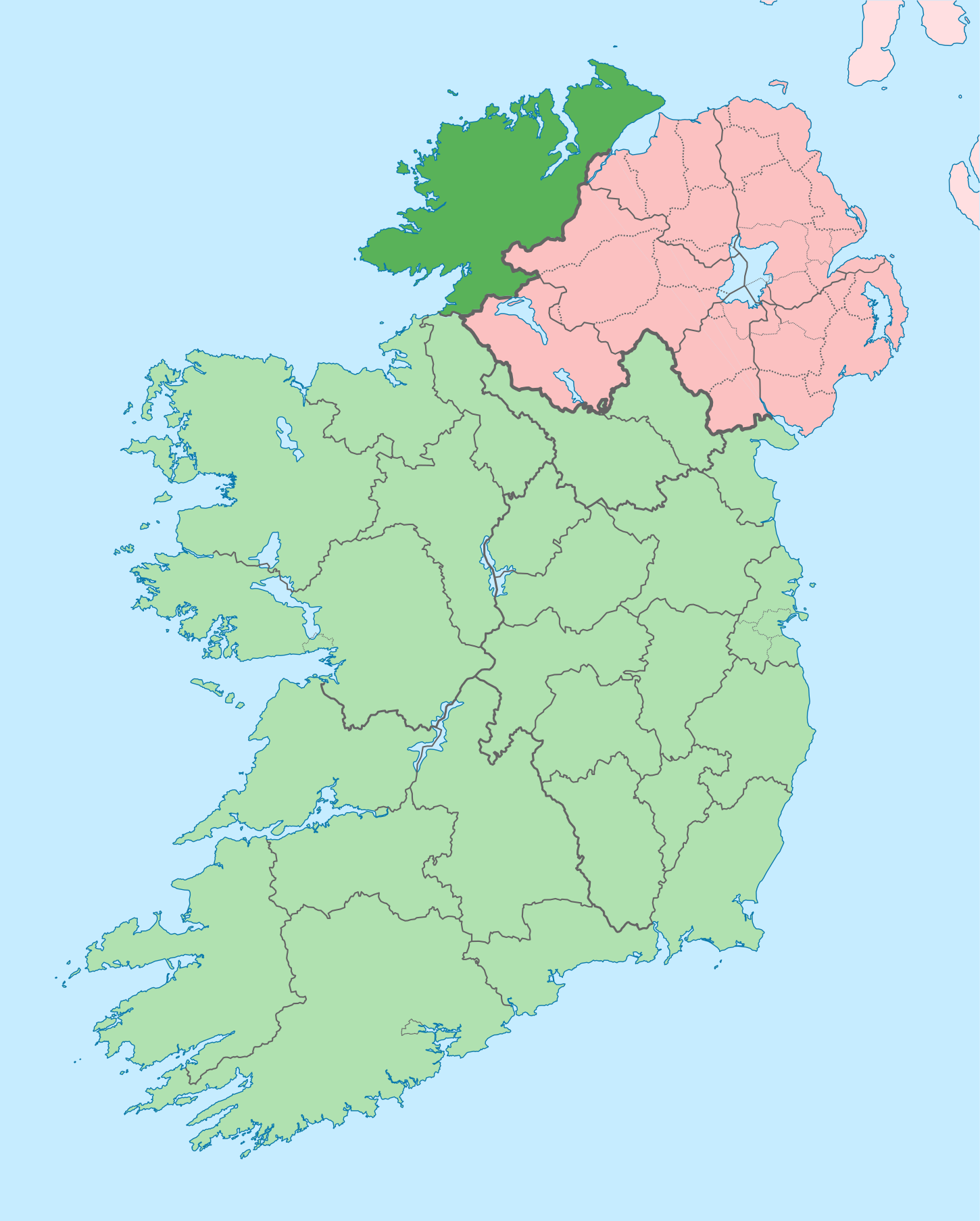
English: The island of Ireland, showing international border between Ireland and Northern Ireland, traditional provinces, traditional counties, and local authority areas in Ireland and Northern Ireland. |
| Päiväys | (UTC) |
| Lähde | |
| Tekijä |
|
| Tämän kuvan originaalia on jälkikäsitelty digitaalisesti. Muutokset: Coloured in regions with county of article highlighted. Originaali: Island of Ireland location map.svg. Muokkaaja: Mabuska.
|
Minä, tämän teoksen tekijänoikeuksien haltija, julkaisen täten tämän teoksen seuraavalla lisenssillä:
Tämä tiedosto on lisensoitu Creative Commons Nimeä-JaaSamoin 3.0 Ei sovitettu -lisenssillä.
- Voit:
- jakaa – kopioida, levittää ja esittää teosta
- remiksata – valmistaa muutettuja teoksia
- Seuraavilla ehdoilla:
- nimeäminen – Sinun on mainittava lähde asianmukaisesti, tarjottava linkki lisenssiin sekä merkittävä, mikäli olet tehnyt muutoksia. Voit tehdä yllä olevan millä tahansa kohtuullisella tavalla, mutta et siten, että annat ymmärtää lisenssinantajan suosittelevan sinua tai teoksen käyttöäsi.
- jaa samoin – Jos muutat tai perustat tähän työhön, voit jakaa tuloksena syntyvää työtä vain tällä tai tämän kaltaisella lisenssillä.
Alkuperäinen tallennusloki
This image is a derivative work of the following images:
- File:Island_of_Ireland_location_map.svg licensed with Cc-by-sa-3.0
- 2010-03-06T20:43:33Z Rannpháirtí anaithnid 1450x1807 (679207 Bytes) Fix incorrectly coloured isands.
- 2010-03-03T22:19:29Z Rannpháirtí anaithnid 1450x1807 (679744 Bytes) {{Information |Description={{de|Positionskarte von [[:de:Irland|Irland]]}} Quadratische Plattkarte, N-S-Streckung 170 %. Geographische Begrenzung der Karte: * N: 55.6° N * S: 51.2° N * W: 11.0° W * O: 5.0° W {{en|Location
Uploaded with derivativeFX
Tiedoston historia
Päiväystä napsauttamalla näet, millainen tiedosto oli kyseisellä hetkellä.
| Päiväys | Pienoiskuva | Koko | Käyttäjä | Kommentti | |
|---|---|---|---|---|---|
| nykyinen | 29. kesäkuuta 2020 kello 16.41 | | 1 450 × 1 807 (642 KiB) | Chipmunkdavis | Further edits per the Local Government Reform Act 2014, joining both Tipperarys and both Waterfords (and removing Limerick City code). Colouring in islands, cleaning up and grouping code to remove stray objects and show Galway and Lough Ree. |
| 6. toukokuuta 2016 kello 06.49 |  | 1 450 × 1 807 (833 KiB) | Houdinipeter | to reflect the changes of the w:Local Government Reform Act 2014 | |
| 19. heinäkuuta 2010 kello 03.43 |  | 1 450 × 1 807 (815 KiB) | Mabuska | {{Information |Description={{en|The island of Ireland, showing international border between Northern Ireland and Republic of Ireland, traditional provinces, traditional counties, and local authority areas in the Republic of Ireland and Northern Ireland.}} |
Tiedoston käyttö
Tätä tiedostoa ei käytetä millään sivulla.
Tiedoston järjestelmänlaajuinen käyttö
Seuraavat muut wikit käyttävät tätä tiedostoa:
- Käyttö kohteessa ar.wikipedia.org
- Käyttö kohteessa ast.wikipedia.org
- Käyttö kohteessa bg.wikipedia.org
- Käyttö kohteessa ca.wikipedia.org
- Comtat de Donegal
- Gaoth Dobhair
- Lifford
- Letterkenny
- Plantilla:Comtat Donegal
- Ballyshannon
- Buncrana
- Bundoran
- Ballybofey
- Carndonagh
- Donegal
- Na Rosa
- Cloch Cheann Fhaola
- Gort an Choirce
- An Fál Carrach
- Machaire Rabhartaigh
- Toraigh
- Baile na Finne
- Teileann
- Gleann Cholm Cille
- Carraig Airt
- Na Dúnaibh
- Cill Charthaigh
- Doirí Beaga
- Croithlí
- Oileán na Cruite
- Gabhla
- An Bun Beag
- Anagaire
- Ailt an Chorráin
- An Dúchoraidh
- Cionn Caslach
- Leitir Mhic an Bhaird
- Loch an Iúir
- Rann na Feirste
- An Clochán Liath
- Árainn Mhór
- Rathmullan
- Ramelton
- Milford (Donegal)
- Raphoe
- Inishowen
- Corredor de Donegal
- Killybegs
- Käyttö kohteessa ceb.wikipedia.org
- Käyttö kohteessa cs.wikipedia.org
- Käyttö kohteessa en.wikipedia.org
Näytä lisää tämän tiedoston järjestelmänlaajuista käyttöä.