Tiedosto:Denmark adm location map.svg

Alkuperäinen tiedosto (SVG-tiedosto; oletustarkkuus 1 836 × 1 478 kuvapistettä; tiedostokoko 479 KiB)
| Tämä tiedosto on tiedostotietokanta Wikimedia Commonsista. Tiedot kuvaussivulta näkyvät alla. |  |
Tiedoston kuvaussivu Commonsissa |
Yhteenveto
| Kuvaus |
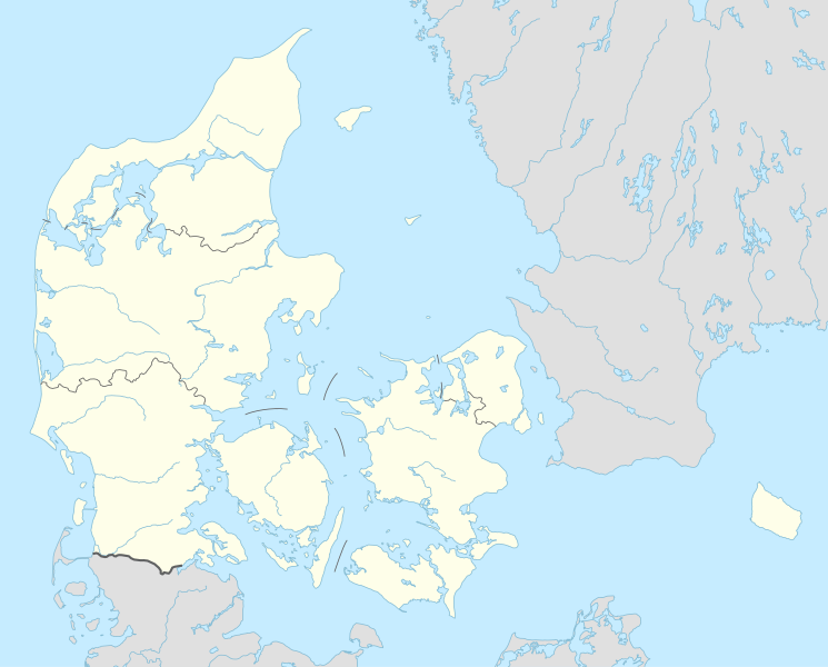
Deutsch: Positionskarte von Dänemark
English: Location map of Denmark
|
||||||||||||
| Päiväys | |||||||||||||
| Lähde |
Own work using:
|
||||||||||||
| Tekijä | NordNordWest | ||||||||||||
| SVG kehittely | Tämä vektorigrafiikkatiedosto luotiin käyttäen apuna ohjelmaa Adobe Illustrator
|
||||||||||||

Lisenssi
Usage of this file with:

explanatory notes: Legally binding is only the full legalcode. For a free usage I recommend to respect the following licence conditions:
1. Provide my name as given above: NordNordWest,
2. a copy of, or the URI for, the applicable license: https://creativecommons.org/licenses/by-sa/3.0/de/legalcode,
3. the title of the work,
4. in the case of an adaptation, a credit identifying the use of the work in the adaptation.
This license and the rights granted hereunder will terminate automatically upon any breach by you of the terms of this license. Any of the above conditions can be waived if you get permission from the copyright holder. If you have questions or wish differing conditions, please contact me through nnwest or my discussion page ![]() t-online.de
t-online.de
- Voit:
- jakaa – kopioida, levittää ja esittää teosta
- remiksata – valmistaa muutettuja teoksia
- Seuraavilla ehdoilla:
- nimeäminen – Sinun on mainittava lähde asianmukaisesti, tarjottava linkki lisenssiin sekä merkittävä, mikäli olet tehnyt muutoksia. Voit tehdä yllä olevan millä tahansa kohtuullisella tavalla, mutta et siten, että annat ymmärtää lisenssinantajan suosittelevan sinua tai teoksen käyttöäsi.
- jaa samoin – Jos muutat tai perustat tähän työhön, voit jakaa tuloksena syntyvää työtä vain tällä tai tämän kaltaisella lisenssillä.

Tiedoston historia
Päiväystä napsauttamalla näet, millainen tiedosto oli kyseisellä hetkellä.
| Päiväys | Pienoiskuva | Koko | Käyttäjä | Kommentti | |
|---|---|---|---|---|---|
| nykyinen | 31. maaliskuuta 2015 kello 21.42 | | 1 836 × 1 478 (479 KiB) | NordNordWest | == {{int:filedesc}} == {{Information |Description= {{de|1=Positionskarte von Dänemark}} {{en|1=Location map of Denmark}} {{Location map series N |stretching=170 |top=57.9 |bottom=54.3 |left=7.8 |right=15.4 }} |Source={{Own using}} * United States Nati... |
Tiedoston käyttö
Seuraavat 82 sivua käyttävät tätä tiedostoa:
- Aabenraa
- Aabybro
- Aakirkeby
- Aalborg
- Aarhus
- Assens
- Billund
- Bogense
- Borum Eshøj
- Christiansfeld
- Dragør
- Egtvedin tyttö
- Esbjerg
- Fjerritslev
- Fredericia
- Frederikshavn
- Grenaa
- Guldhøj
- Haderslev
- Hadsund
- Hanstholm
- Helsingør
- Herning
- Hillerød
- Hjørring
- Hobro
- Holbæk
- Holstebro
- Horsens
- Hvidovre
- Hørsholm
- Kalundborg
- Karup
- Kerteminde
- Kolding
- Kuningas Asgerin kumpu
- Kööpenhamina
- Køge
- Ladbyn venehauta
- Muldhøjn mies
- Nykøbing
- Nykøbing Falster
- Næstved
- Nørresundby
- Odense
- Pohjois-Själlannin metsästysmaat
- Randers
- Ribe
- Ringkøbing
- Ringsted
- Roskilde
- Rudersdal
- Rønne
- Silkeborg
- Skagen
- Skelhøj
- Skive
- Skrydstrupin tyttö
- Skælskør
- Slagelse
- Sorø
- Stevnsin klintti
- Store Kongehøj
- Struer
- Svendborg
- Søllerød
- Sønderborg
- Taastrup
- Tanskan Superliiga
- Thisted
- Tollundin mies
- Trindhøjn mies
- Trudshøj
- Tybrind Vig
- Varde
- Vejle
- Viborg
- Vordingborg
- Ølbyn Nordhøj
- Ølbyn nainen
- Ølstykke
- Malline:Sijaintikartta Tanska
Tiedoston järjestelmänlaajuinen käyttö
Seuraavat muut wikit käyttävät tätä tiedostoa:
- Käyttö kohteessa af.wikipedia.org
- Tise
- Tødsø
- Tolne
- Tornby
- Tranum
- Tversted
- Tylstrup
- Uggerby
- Uggerhalne
- Ullits
- Ulsted
- Vadum
- Valsgård
- Valsted
- Vårst
- Thisted
- Thorshøj
- Guldbæk
- Gudumholm
- Gøttrup
- Godthåb (Aalborg)
- Gjøl
- Gistrup
- Gedsted
- Gandrup
- Gærum
- Tårs (Hjørring)
- Terndrup
- Vrå
- Vodskov
- Ydby
- Vodstrup
- Voerså
- Vognsild
- Vrensted
- Visse (Denemarke)
- Visborg
- Vindblæs
- Vilsund Vest
- Vilsted
- Vils
- Vidstrup
- Vestervig
- Vesterø Havn
- Vester Torup
- Vester Hornum
- Vester Hjermitslev
- Vester Hassing
- Vestbjerg
- Vesløs
Näytä lisää tämän tiedoston järjestelmänlaajuista käyttöä.