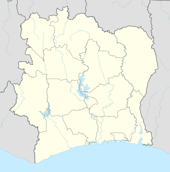
Tiedosto:Côte d'Ivoire adm location map.svg

Wikipediasta
Siirry navigaatioon Siirry hakuun

Alkuperäinen tiedosto(SVG-tiedosto; oletustarkkuus 1 323 × 1 336 kuvapistettä; tiedostokoko 374 KiB)

Yhteenveto

Kuvaus
Deutsch: Positionskarte von Elfenbeinküste
English: Location map of Côte d'Ivoire

Equirectangular projection, vertical stretching 101 %
Border coordinates

11
-9←↕→-2
4
 Informaatio This map is part of a series of location maps with unified standards: SVG as file format, standardised colours and name scheme. The boundaries on these maps always show the de facto situation and do not imply any endorsement or acceptance. In case of changes of the shown area the file is updated. The old version will be uploaded as a new file and thus is still available.
Päiväys
Lähde

Own work using:

  • United States National Imagery and Mapping Agency data
  • World Data Base II data
Tekijä NordNordWest
Kartenwerkstatt
Saksankielisen Wikipedian projekti Kartenwerkstatt on parantanut tätä karttaa. Myös sinä voit ehdottaa jotakin karttaa parannettavaksi.

Lisenssi

Usage of this file with:

explanatory notes: Legally binding is only the full legalcode. For a free usage I recommend to respect the following licence conditions:
1. Provide my name as given above: NordNordWest,
2. a copy of, or the URI for, the applicable license: https://creativecommons.org/licenses/by-sa/3.0/de/legalcode,
3. the title of the work,
4. in the case of an adaptation, a credit identifying the use of the work in the adaptation.
This license and the rights granted hereunder will terminate automatically upon any breach by you of the terms of this license. Any of the above conditions can be waived if you get permission from the copyright holder. If you have questions or wish differing conditions, please contact me through nnwest@t-online.de or my discussion page

w:fi:Creative Commons
nimeäminen jaa samoin
Tämä tiedosto on lisensoitu Creative Commons Nimeä-JaaSamoin 3.0 Saksa -lisenssillä.
Voit:
  • jakaa – kopioida, levittää ja esittää teosta
  • remiksata – valmistaa muutettuja teoksia
Seuraavilla ehdoilla:
  • nimeäminen – Sinun on mainittava lähde asianmukaisesti, tarjottava linkki lisenssiin sekä merkittävä, mikäli olet tehnyt muutoksia. Voit tehdä yllä olevan millä tahansa kohtuullisella tavalla, mutta et siten, että annat ymmärtää lisenssinantajan suosittelevan sinua tai teoksen käyttöäsi.
  • jaa samoin – Jos muutat tai perustat tähän työhön, voit jakaa tuloksena syntyvää työtä vain tällä tai tämän kaltaisella lisenssillä.

Kuvatekstit

Lisää yhden rivin pituinen kuvaus tästä tiedostosta

Kohteet, joita tässä tiedostossa esitetään

esittää

14. heinäkuu 2015

Tiedoston historia

Päiväystä napsauttamalla näet, millainen tiedosto oli kyseisellä hetkellä.

PäiväysPienoiskuvaKokoKäyttäjäKommentti
nykyinen15. heinäkuuta 2015 kello 00.48Pienoiskuva 15. heinäkuuta 2015 kello 00.48 tallennetusta versiosta1 323 × 1 336 (374 KiB)NordNordWest== {{int:filedesc}} == {{Information |Description= {{de|1=Positionskarte von Elfenbeinküste}} {{en|1=Location map of Côte d'Ivoire}} {{Location map series N |stretching=101 |top=11 |bottom=4 |left=-9 |right=-2 }} |Source={{Own using}} * United States...

Tätä tiedostoa ei käytetä millään sivulla.

Tiedoston järjestelmänlaajuinen käyttö

Seuraavat muut wikit käyttävät tätä tiedostoa:

Näytä lisää tämän tiedoston järjestelmänlaajuista käyttöä.

Metatieto