Tiedosto:Waterfall Bahati Camp Uluguru Morogoro.jpg
Siirry navigaatioon
Siirry hakuun

Tämän esikatselun koko: 800 × 179 kuvapistettä. Muut resoluutiot: 320 × 72 kuvapistettä | 640 × 143 kuvapistettä | 1 024 × 229 kuvapistettä | 1 280 × 287 kuvapistettä | 7 559 × 1 693 kuvapistettä.
Alkuperäinen tiedosto (7 559 × 1 693 kuvapistettä, 9,52 MiB, MIME-tyyppi: image/jpeg)
| Tämä tiedosto on tiedostotietokanta Wikimedia Commonsista. Tiedot kuvaussivulta näkyvät alla. |  |
Tiedoston kuvaussivu Commonsissa |
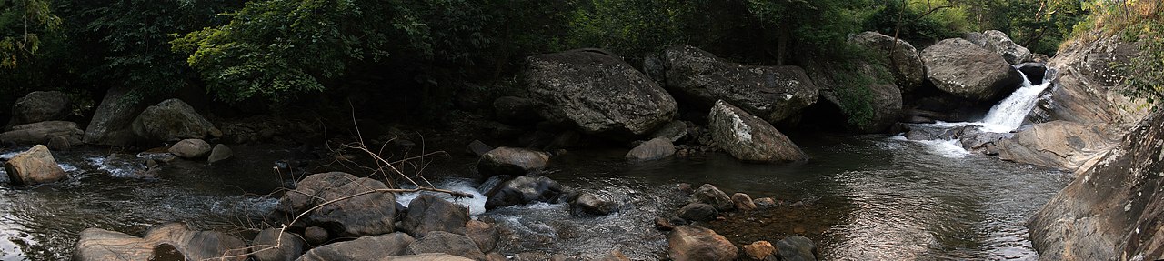
| Kuvaus |
English: Waterfalls at Bahati Camp, the first of three camp areas in the Uluguru Mountains. |
||||||||
| Päiväys | |||||||||
| Lähde | Oma teos | ||||||||
| Tekijä | Muhammad Mahdi Karim | ||||||||
| Käyttöoikeus (Tämän tiedoston uudelleenkäyttö) |
|
||||||||

| Kameran sijainti | | Tämä ja muut kuvat kartalla: OpenStreetMap |
|---|
Tämä kuva katsotaan laatukuvaksi.
|
Tiedoston historia
Päiväystä napsauttamalla näet, millainen tiedosto oli kyseisellä hetkellä.
| Päiväys | Pienoiskuva | Koko | Käyttäjä | Kommentti | |
|---|---|---|---|---|---|
| nykyinen | 30. tammikuuta 2013 kello 09.11 | 7 559 × 1 693 (9,52 MiB) | Slick-o-bot | Bot: convert to a non-interlaced jpeg (see bug #17645) | |
| 11. heinäkuuta 2008 kello 23.12 | 7 559 × 1 693 (8,98 MiB) | Muhammad Mahdi Karim | {{Information |Description={{en|Waterfalls at '''Bahati Camp''', the first of three camp areas in the mountain.}} |Source=self=made |Date=2008 |Author=Muhammad Mahdi Karim |Permission={{MMahdi}} |other_versions= }} {{ImageUpl |
Tiedoston käyttö
Seuraava sivu käyttää tätä tiedostoa:
Tiedoston järjestelmänlaajuinen käyttö
Seuraavat muut wikit käyttävät tätä tiedostoa:
- Käyttö kohteessa bg.wikipedia.org
- Käyttö kohteessa en.wikipedia.org
- Käyttö kohteessa fr.wikipedia.org
- Käyttö kohteessa nl.wikipedia.org
- Käyttö kohteessa uk.wikipedia.org