Tiedosto:Burundi communes.png
Siirry navigaatioon
Siirry hakuun
Tämän esikatselun koko: 505 × 600 kuvapistettä. Muut resoluutiot: 202 × 240 kuvapistettä | 404 × 480 kuvapistettä | 865 × 1 027 kuvapistettä.
Alkuperäinen tiedosto (865 × 1 027 kuvapistettä, 22 KiB, MIME-tyyppi: image/png)
| Tämä tiedosto on tiedostotietokanta Wikimedia Commonsista. Tiedot kuvaussivulta näkyvät alla. |  |
Tiedoston kuvaussivu Commonsissa |
Yhteenveto
| Kuvaus |
|
||
| Päiväys | 29. marraskuuta 2006 (alkuperäinen tallennuspäivä) | ||
| Lähde | Koneluettavaa lähdettä ei ole ilmoitettu. Oletettavasti oma teos (tekijänoikeusilmoitukseen perustuen). | ||
| Tekijä | Koneluettavaa tekijää ei ole ilmoitettu. Oletettavasti Electionworld (tekijänoikeusilmoitukseen perustuen). | ||
| Muut versiot |
Tämän tiedoston johdannaisteoksia: |

.png)
Lisenssi
| Minä, tämän teoksen tekijänoikeudellinen omistaja, julkaisen tämän teoksen public domainiin eli luovun kaikista tekijänoikeuksista lain sallimissa puitteissa. Tämä on voimassa maailmanlaajuisesti. Joissain maissa laki ei mahdollista tätä. Mikäli näin on: Myönnän kenelle tahansa oikeuden käyttää tätä teosta mihin tahansa tarkoitukseen, ilman mitään ehtoja, ellei laki vaadi ehtojen asettamista. |
Tiedoston historia
Päiväystä napsauttamalla näet, millainen tiedosto oli kyseisellä hetkellä.
| Päiväys | Pienoiskuva | Koko | Käyttäjä | Kommentti | |
|---|---|---|---|---|---|
| nykyinen | 15. syyskuuta 2015 kello 22.50 | | 865 × 1 027 (22 KiB) | NordNordWest | upd |
| 23. heinäkuuta 2015 kello 00.51 |  | 865 × 1 027 (33 KiB) | ThomasPusch | The water area isn't a commune. Therefore it's helpful to set it to another colour, commonly light blue for water bodies in maps. • La akva areo ne estas komunumo. Tial helpas meti ĝin al alia koloro, kutime helblua por akvaĵoj en mapoj. | |
| 14. tammikuuta 2008 kello 19.30 |  | 865 × 1 027 (59 KiB) | Rarelibra | Updated map | |
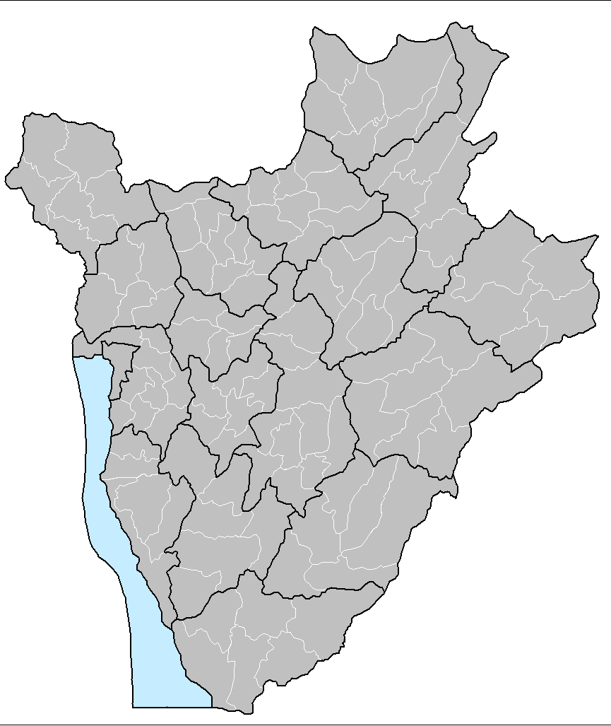
| 29. marraskuuta 2006 kello 15.17 |  | 1 025 × 624 (20 KiB) | Electionworld | {{ew|en|Rarelibra}} == Summary == Map of the communes of Burundi. Created by Rarelibra 13:52, 31 March 2006 (UTC) for public domain use. Created using MapInfo Professional v7.5 and various mapping resources. == Licensing == {{PD-self}} |
Tiedoston käyttö
Seuraavat 2 sivua käyttävät tätä tiedostoa:
Tiedoston järjestelmänlaajuinen käyttö
Seuraavat muut wikit käyttävät tätä tiedostoa:
- Käyttö kohteessa en.wikipedia.org
- Käyttö kohteessa eo.wikipedia.org
- Käyttö kohteessa fr.wikipedia.org
- Käyttö kohteessa id.wikipedia.org
- Käyttö kohteessa it.wikipedia.org
- Käyttö kohteessa ka.wikipedia.org
- Käyttö kohteessa nl.wikipedia.org
- Käyttö kohteessa pt.wikipedia.org
- Käyttö kohteessa simple.wikipedia.org
- Käyttö kohteessa sr.wikipedia.org
- Käyttö kohteessa sv.wikipedia.org
- Käyttö kohteessa zu.wikipedia.org